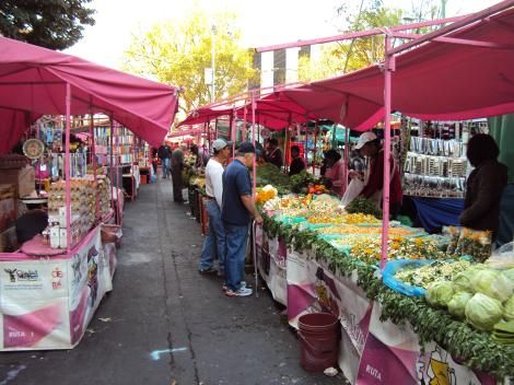
MEXICO CITY — Residents and tourists seeking to explore the vibrant traditional street markets, known as tianguis, of Mexico City now have a new tool to help them navigate the city’s bustling commerce. A recently released interactive map provides a comprehensive guide to every tianguis in the capital, detailing their locations, operating days, and business hours.
The map was developed by Twitter user @GlezMireles, who utilized data from the CDMX Open Data Portal to build the tool on the Tableau Public platform. The initiative aims to simplify the process of finding these local markets, which are a staple of Mexican culture and daily life.
How to Navigate the Map
The interactive map is designed for ease of use, utilizing a color-coded system to indicate market availability throughout the week. Each highlighted point on the map corresponds to a specific day of operation:
- Monday: Dark Blue
- Tuesday: Orange
- Wednesday: Red
- Thursday: Light Blue
- Friday: Green
By interacting with the map, users can pinpoint the exact location of any market. Hovering over or clicking on a specific point will trigger a pop-up box containing detailed information about that specific tianguis. Additionally, the platform includes buttons that allow users to easily download the map for offline use or share it across social media.